The University of Chicago Hyde Park Campus
Project Team
ZS
Owner
The University of Chicago
Location
Chicago, Illinois
Area
3 Million Square Feet
Completion Date
2017
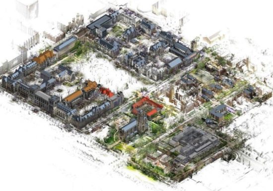
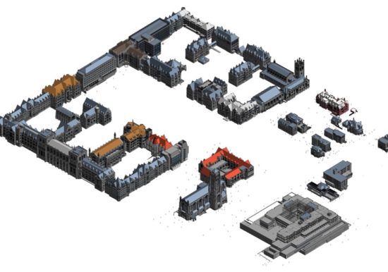
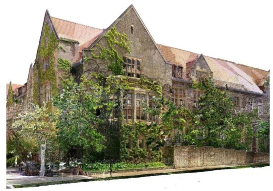
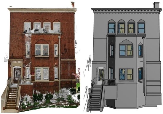
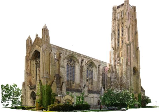
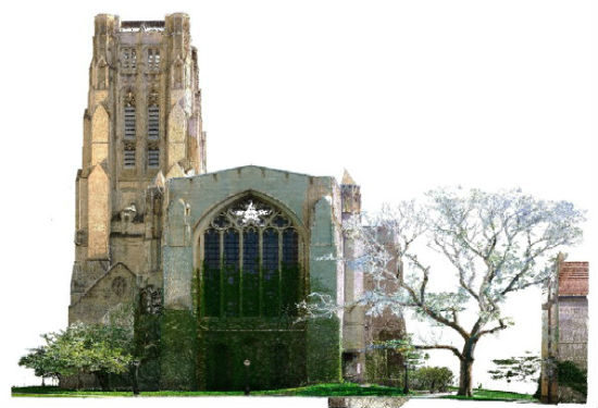
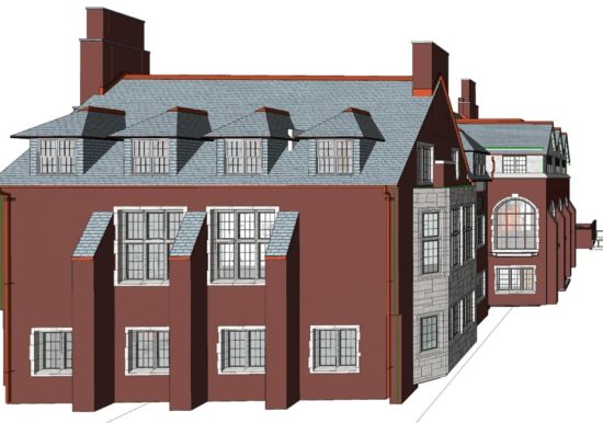
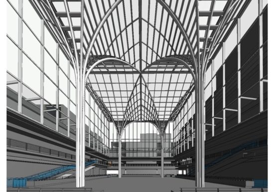
In 2016, ZS was contracted to perform exterior and interior laser scanning and as-built modeling of over 950,000 square feet of the University of Chicago’s Hyde Park Campus. The project involved developing a surveyed campus coordinate system to register (i.e. align) the point cloud data and generate a federated campus model for hosting 52 as-built building models. The project scope also included re-registering over 2 million square feet of laser scan data and re-alignment of existing building models so that all data would share a common coordinate system. The final models were to be incorporated in the University’s Computerized Maintenance Management System (CMMS).
The project involved:
- 52 buildings and processing over 3 million square feet of interior point cloud data
- Established campus survey control network and registered over 70 acres of exterior laser scan data
- Over 35 acres of exterior scanning was completed in less than three (3) weeks
- Over 950,000 square feet of interior laser scanning was completed during summer break
- Continuous coordination with Facility Services to minimize inconvenience to building occupants
- Final campus federated model to be migrated into virtual campus model for space and asset management
Services
Project Type
In 2016, ZS was contracted to perform exterior and interior laser scanning and as-built modeling of over 950,000 square feet of the University of Chicago’s Hyde Park Campus. The project involved developing a surveyed campus coordinate system to register (i.e. align) the point cloud data and generate a federated campus model for hosting 52 as-built building models. The project scope also included re-registering over 2 million square feet of laser scan data and re-alignment of existing building models so that all data would share a common coordinate system. The final models were to be incorporated in the University’s Computerized Maintenance Management System (CMMS).
The project involved:
- 52 buildings and processing over 3 million square feet of interior point cloud data
- Established campus survey control network and registered over 70 acres of exterior laser scan data
- Over 35 acres of exterior scanning was completed in less than three (3) weeks
- Over 950,000 square feet of interior laser scanning was completed during summer break
- Continuous coordination with Facility Services to minimize inconvenience to building occupants
- Final campus federated model to be migrated into virtual campus model for space and asset management